Live Data
The live data shown here is received and decoded as part of a private, non-commercial hobby project. Information may be incomplete, delayed or inaccurate and is provided for technical demonstration only — not for navigation, safety-critical, operational or commercial use.
📡 Inmarsat-C SafetyNET / EGC Monitor
Automatically received and decoded Inmarsat-C Enhanced Group Call messages via the OE6VAG L-band monitoring station.
Experimental reception only. Do not use this information for navigation or safety-critical purposes.
View all received SafetyNET / EGC messages →
METEOR-M2-4 Satellite Reception
Automatically received and decoded LRPT weather satellite images from METEOR-M2-4 at 137.9 MHz.
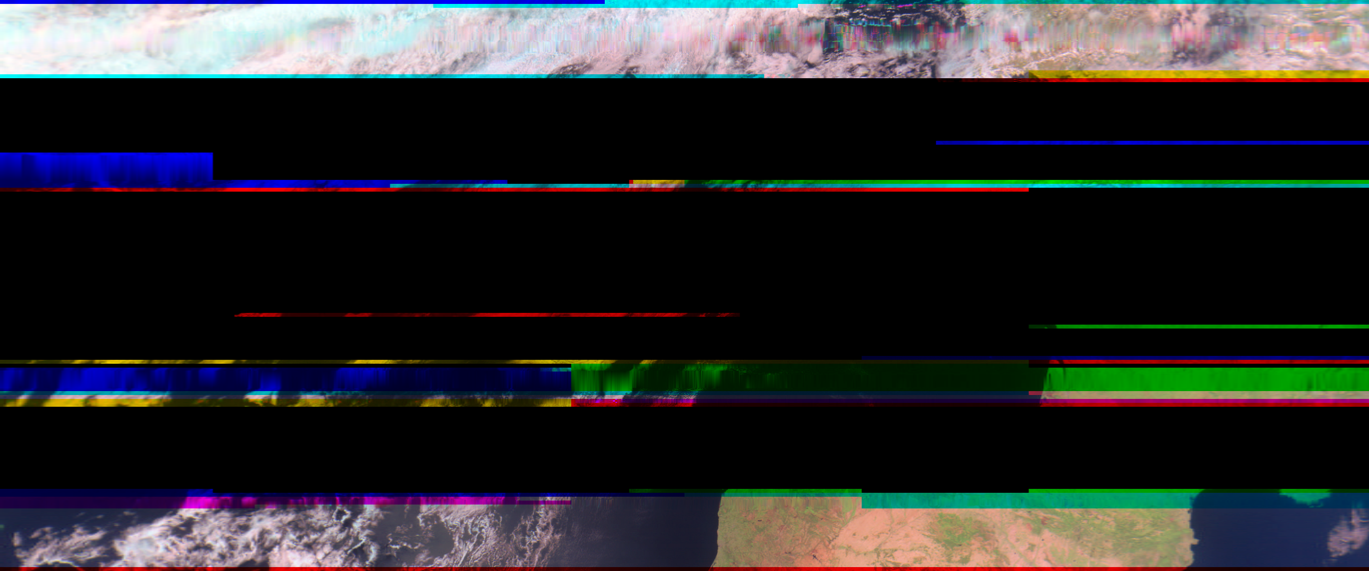
Click the image to open the full-resolution version.
ADS-B Receiver
📡 Raspberry Pi ground station
🛰 Network: ADS-B Exchange
🆔 Feed: KTuGujiilfvi
HFDL Receiver
📡 Raspberry Pi ground station
🌍 Network: local HFDL live map
🛰 Data source: dumphfdl + SDRplay RSPdx
DCF77
The transmission of Meteotime weather forecast data via the DCF77 long-wave transmitter has been interrupted since June 30, 2026, due to a technical defect in the control system. The time and date are displayed normally.
DCF77 Live
⏱ RWM 9.996 MHz
QRZ
This shows the latest QSOs of OE6VAG — assuming the operator remembered to update the log. You can also visit the full log on the QRZ page.
TinyGS – OE6VAG Station
LoRa satellite telemetry received by OE6VAG TinyGS station. View live packets and mission data.
Open radiosonde map in full screen → · Open Sondehub Tracker
Open C-ITS map in full screen → · Open OpenTrafficMap
Open DWD RTTY Live in full screen →
SYNOP / SHIP Weather Reports
Weather observations decoded directly from DWD RTTY transmissions. Green markers are WMO land stations, blue markers are ships, orange markers are unidentified weather stations.
Open SYNOP map in full screen →
🌦 DWD HF Weather Fax
Automatically received and decoded HF weather charts from DDK3 on 7880 kHz of the German Weather Service (DWD) .
Reception times are shown in your local time. For technical demonstration only — not for navigation, safety-critical, operational or commercial use.
Open FT8 Live in full screen → · Open in PSK Reporter
WSPR 30 m
Weak Signal Propagation Reporter reception on the 30 m amateur band. The preview shows reception activity during the last 24 hours.
Open WSPR 30 m propagation monitor → · Open WSPRnet map